- Distance
- 48 km
- Duration
- Half day
- Best time
- May – Oct
- Highest point
- 2,428 m
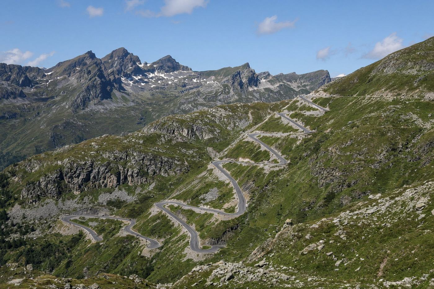
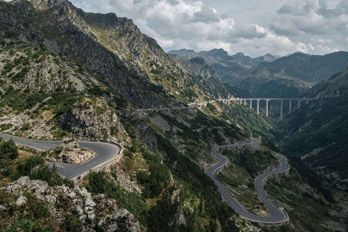
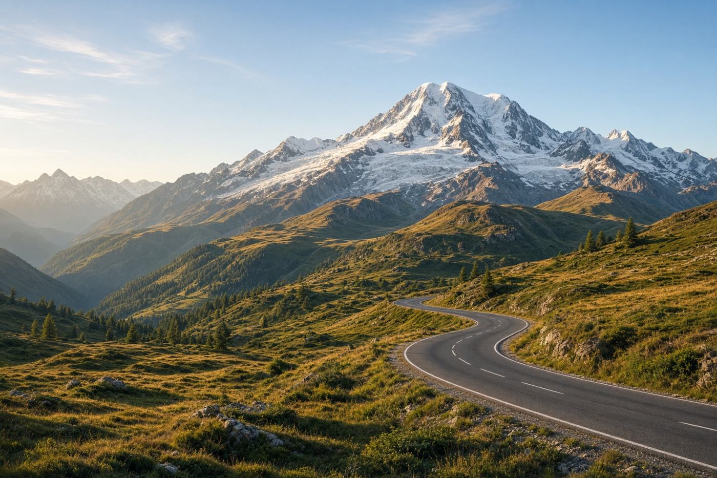
Austria’s high alpine toll road. Thirty-six bends, the country’s highest mountain on the shoulder, and a descent into Heiligenblut that looks painted.
Top highlights
- High altitude2,428 m
- Fuscher TörlThe memorial bend. Grossglockner sits in the frame.
- Kaiser-Franz-Josefs-HöheGlacier terrace. A short spur, worth the extra kilometres.
- Road qualityExcellent surface. Toll. Can close in weather even in season. Watch for cyclists on the north ramps.
- PermitsToll road. Pay at the gates. Motorcycles and cars have separate rates.
- Best timeMay – Oct
Recommended itinerary
Bruck, Austria
Start
Fuscher Törl
20 km
Kaiser-Franz-Josefs-Höhe
30 km
Heiligenblut
End · 48 km