- Distance
- 110 km
- Duration
- Half day
- Best time
- Nov – Feb
- Highest point
- 980 m
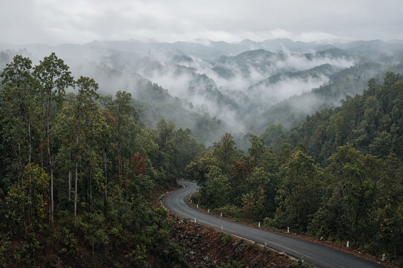
Route 1095 and its 1,864 numbered bends through teak and mist. Pai is the warm-up. Mae Hong Son is the town at the end of the counting.
Top highlights
- High altitude980 m
- Pang UngA short spur. Pines and a reservoir that looks borrowed from somewhere colder.
- Wat Phra That Doi Kong MuMae Hong Son from above. The road earned the view.
- Road qualitySealed, tight, often damp. Motorbikes in packs. Night fog in the folds. The number on the kilometre stones is not a suggestion to hurry.
- Best timeNov – Feb
Recommended itinerary
Pai, Mae Hong Son
Start
Pang Ung
85 km
Wat Phra That Doi Kong Mu
110 km
Mae Hong Son
End · 110 km