- Distance
- 22 km
- Duration
- Half day
- Best time
- Sep – Nov, Mar – May
- Highest point
- 1,500 m
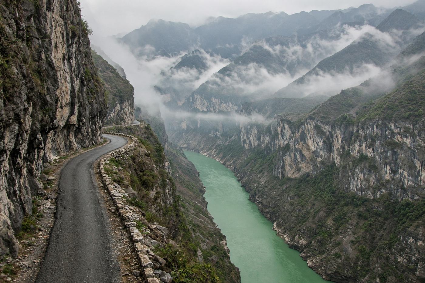
The Nho Quế in a canyon so deep the river looks painted. Twenty-two kilometres of cliff road between Đồng Văn and Mèo Vạc — the reason people ride the Hà Giang loop.
Top highlights
- High altitude1,500 m
- Mã Pí Lèng viewpointThe river, the wall, the road you just drove. Stop in the bay.
- Nho Quế lookoutStraight down. Do not lean on the wall if it is wet.
- Road qualityNarrow, patched, often wet. Fog in the morning. Buses and loaded bikes. The drop is unguarded in places. Rain turns the outer edge to grease.
- PermitsHà Giang loop is open. Stay on the sealed road; some side tracks are not.
- Best timeSep – Nov, Mar – May
Recommended itinerary
Đồng Văn, Hà Giang
Start
Mã Pí Lèng viewpoint
11 km
Nho Quế lookout
14 km
Mèo Vạc
End · 22 km