- Distance
- 103 km
- Duration
- Half day
- Best time
- Jan – Dec
- Highest point
- 400 m
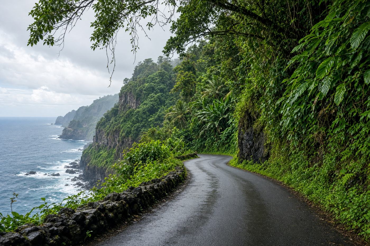
Six hundred bends through rainforest to a town at the end of the road. Waterfalls, one-lane bridges, and a Pacific you only glimpse.
Top highlights
- High altitude400 m
- Keʻanae peninsulaLava and taro and the first long sea view.
- Wailua Valley lookoutThe coast stacked in ridges. A pull-off, not a hike.
- Road qualityNarrow, wet, well known. One-lane bridges are yield-to-the-oncoming. Do not rush it; the ticket is for people who try.
- PermitsSome waterfall pools and trails now need reservations. The highway itself does not.
- Best timeJan – Dec
Recommended itinerary
Kahului, Maui
Start
Keʻanae peninsula
55 km
Wailua Valley lookout
78 km
Hana
End · 103 km