- Distance
- 110 km
- Duration
- Half day
- Best time
- Jun – Oct
- Highest point
- 400 m
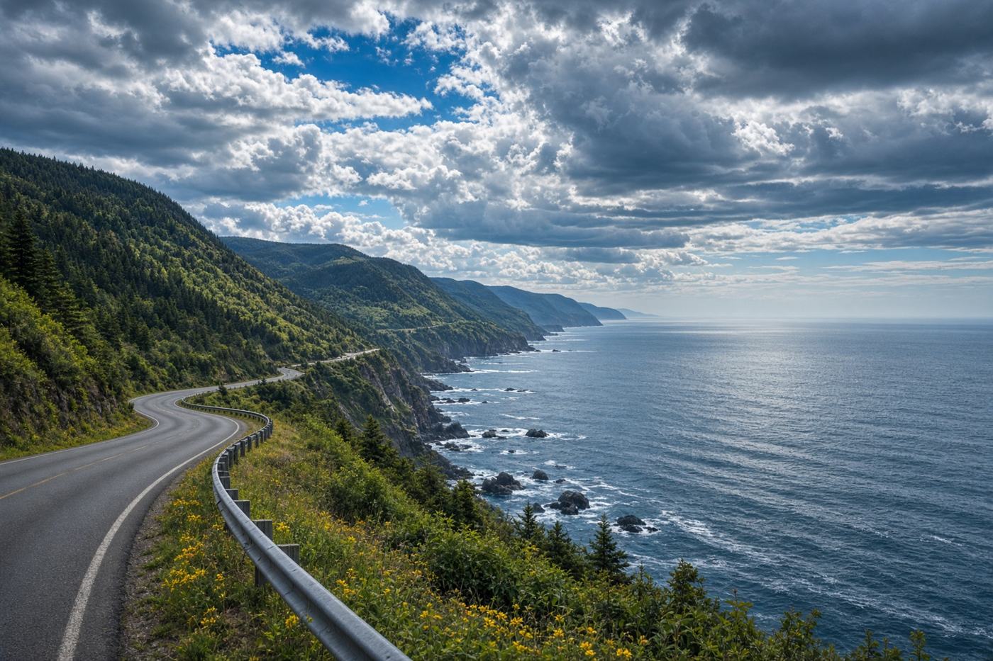
Cape Breton’s highland coast. The signature stretch: French Acadian villages, then the park, then cliffs that drop into the Gulf.
Top highlights
- High altitude400 m
- Skyline trailheadSunset on the ridge. The road got you here.
- Cape SmokeyThe descent to Ingonish. The Atlantic is suddenly there.
- Road qualityGood two-lane. Fog and moose. The park section is the point; the full loop is longer than you think.
- PermitsCape Breton Highlands National Park pass if you enter the park roads and trails.
- Best timeJun – Oct
Recommended itinerary
Chéticamp, Nova Scotia
Start
Skyline trailhead
35 km
Cape Smokey
100 km
Ingonish
End · 110 km