+1
- Distance
- 80 km
- Duration
- Half day
- Best time
- Jul – Sep
- Highest point
- 2,025 m
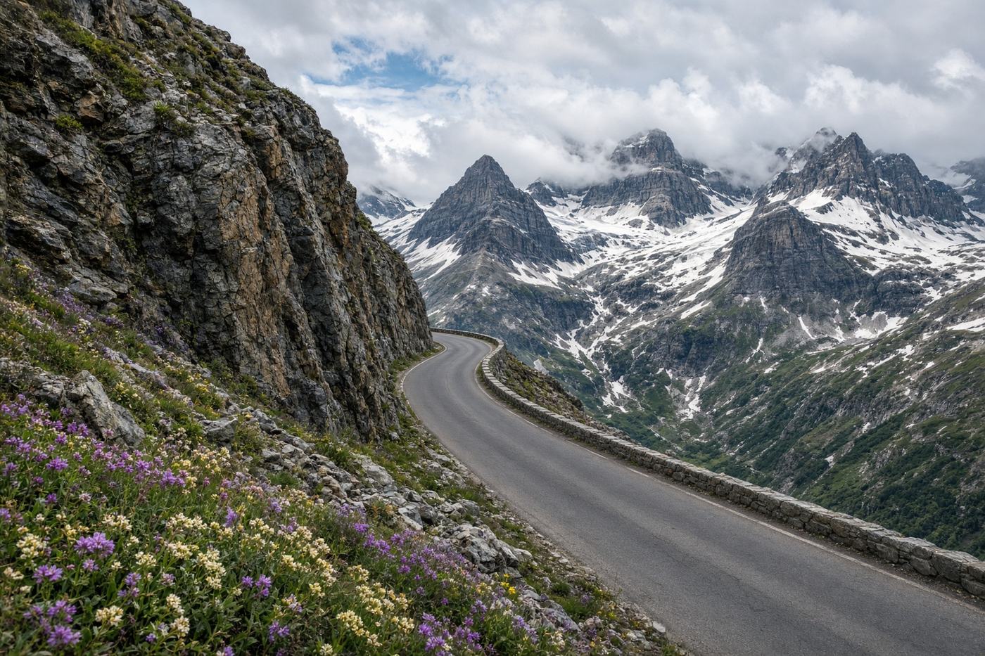
Glacier’s one road across the range. Logan Pass, a wall of meltwater, and a park that still feels like the drawing they made in 1932.
Top highlights
- High altitude2,025 m
- Lake McDonaldThe west end. Still water if you leave before the coaches.
- Weeping WallThe mountain leaking on the windscreen. Eastbound you are under it.
- Road qualityOpens late. Narrow, no trailers, cyclists at dawn. Snow at Logan into July some years. Vehicle-length limits are enforced.
- PermitsGlacier National Park entry. Timed-entry reservation in peak season for the west side.
- Best timeJul – Sep
Recommended itinerary
West Glacier, Montana
Start
Lake McDonald
10 km
Weeping Wall
42 km
Logan Pass
50 km
St. Mary
End · 80 km