- Distance
- 100 km
- Duration
- Half day
- Best time
- May – Oct
- Highest point
- 3,660 m
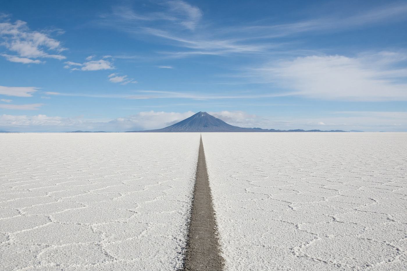
Twelve thousand square kilometres of salt, a horizon that lies, and a cactus island in the middle. Not a highway. Still one of the drives people mean when they say the world.
Top highlights
- High altitude3,660 m
- ColchaniThe salt hotels, the piles, the first white. Buy the glasses here.
- IncahuasiThe island of cacti. Walk the ridge. The salar is a disk.
- Road qualitySalt crust in the dry season; 4×4. The wet season is a mirror and a different risk — tours only. No fuel, no shade, no phone. Follow a track or a guide.
- PermitsPark fee at the edge. A guide is not optional if you do not know the crust. Altitude ~3,650 m.
- Best timeMay – Oct
Recommended itinerary
Uyuni
Start
Colchani
20 km
Incahuasi
100 km
Incahuasi
End · 100 km