+1
- Distance
- 85 km
- Duration
- Half day
- Best time
- Oct – Apr
- Highest point
- 1,400 m
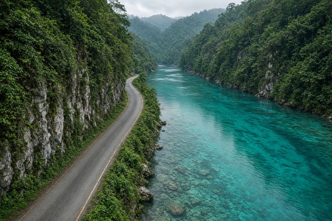
A road that finds a river so clear the boats look airborne. Jaintia hills, then the Umngot, then Bangladesh on the far bank. Shorter than Cherrapunjee, and a different Meghalaya.
Top highlights
- High altitude1,400 m
- PynurslaThe ridge before the river appears.
- UmngotGlass water. That is the whole argument.
- Road qualityNarrow, often wet, some broken stretches after monsoon. Weekend jeeps from Shillong.
- PermitsInner Line Permit for some onward Meghalaya routes — not required for Dawki itself. Carry ID at the border belt.
- Best timeOct – Apr
Recommended itinerary
Shillong, Meghalaya
Start
Pynursla
55 km
Umngot
82 km
Dawki bridge
85 km
Dawki
End · 85 km