#17 of 79 · mountain
Shillong to Cherrapunjee
Shillong, Meghalaya → Sohra (Cherrapunjee)
55 km · Sep – Nov · Moderate
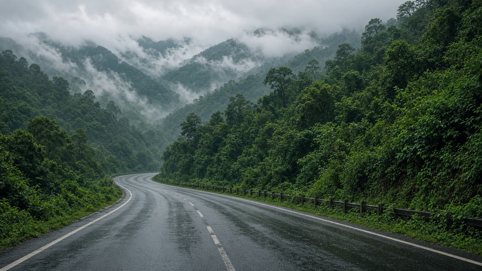
A short, saturated drive through the wettest hills on earth. Waterfalls appear out of cloud, the road is a ribbon of wet asphalt, and every pull-off is a photograph.
Viewpoints
Elephant Falls
Close to Shillong, a good warm-up stop.
12 km
1,400 m
Wah Kaba Falls
A drop you see from the road itself.
34 km
1,480 m
Nohkalikai viewpoint
India’s tallest plunge waterfall.
52 km
1,484 m
- Road
- Narrow, often wet, with sudden fog. Surface is decent; visibility is the real hazard.
- Permits
- Inner Line Permit for some onward routes in Meghalaya — not required for this stretch itself.
Tips
- 01
Pack a rain layer
It can rain here on a ‘clear’ day.
- 02
Go slow in fog
Locals know the edges. You do not.
- 03
Continue to Mawlynnong
If you have another day, the cleanest village is worth it.
From the road
1 notes
Field reports from people who have driven this route.
Driven this road? Join as a driver to leave a note from the road.
Lata D.
Oct 2025
Went up in a white-out. Nohkalikai appeared for twenty seconds. That was enough.