#46 of 79 · mountain
Rishikesh to Badrinath
Rishikesh, Uttarakhand → Badrinath
300 km · May – Jun, Sep – Oct · Moderate
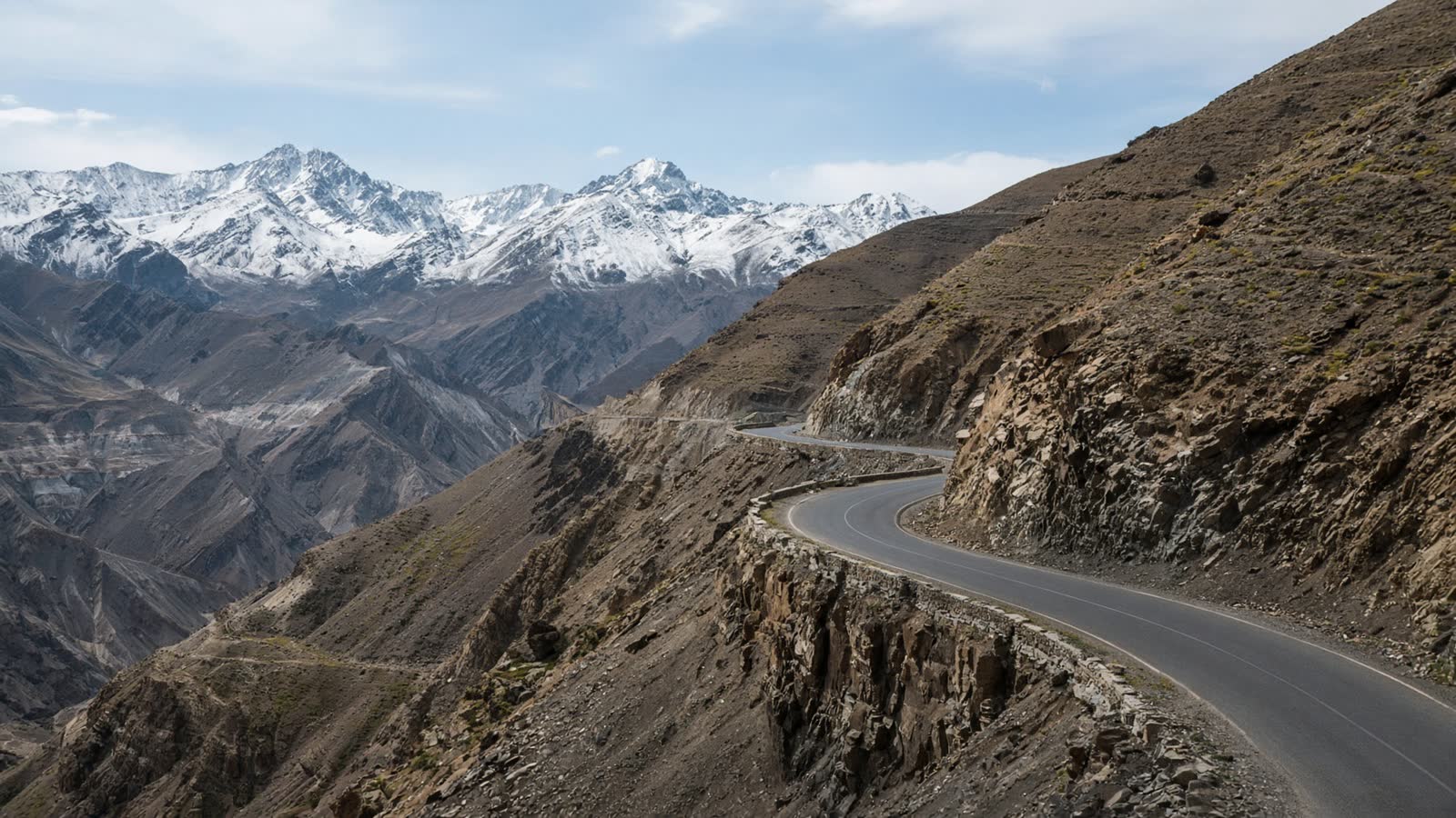
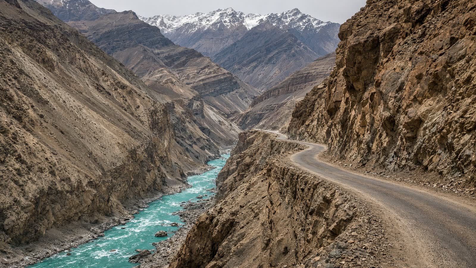
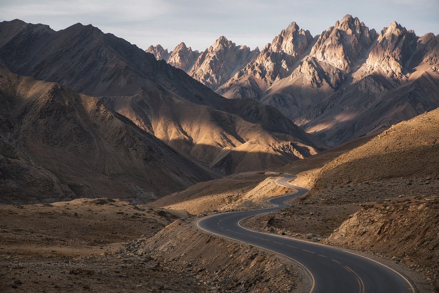
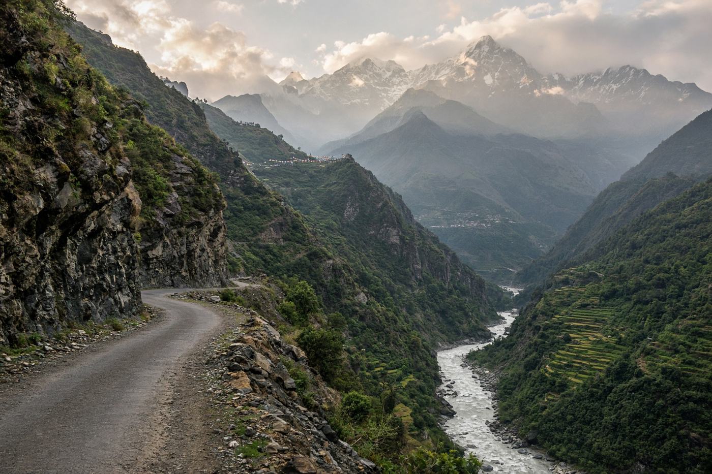
The Char Dham road along the Alaknanda. Gorges, landslide scars, temple towns stacked on terraces, and a last climb into thin air. A pilgrimage that happens to be a great drive.
Viewpoints
Devprayag
Where the Alaknanda and Bhagirathi meet.
70 km
830 m
Joshimath
The last real town before the pass.
250 km
1,875 m
Vishnuprayag
A gorge so deep the river is a thread.
265 km
1,700 m
Badrinath
Temple town under Neelkanth.
300 km
3,133 m
- Road
- NH7 is improved but still a mountain road. Monsoon landslides are routine. Expect slow convoys of buses in yatra season.
- Permits
- Registration for the Char Dham yatra in peak season. Carry ID.
Tips
- 01
Skip July–August
The yatra and the rain both peak. The road does not enjoy either.
- 02
Split at Joshimath
The last fifty kilometres are the steep ones. Arrive with daylight.
- 03
Helengala slow
Narrow, unprotected edges. Let the buses take the inside line.
From the road
1 notes
Field reports from people who have driven this route.
Driven this road? Join as a driver to leave a note from the road.
Dev J.
May 2025
Joshimath to Badrinath in a cloud. Neelkanth appeared for a minute at the temple. That was the drive.