+1
- Distance
- 95 km
- Duration
- Half day
- Best time
- Jun – Sep, Oct – Feb
- Highest point
- 790 m
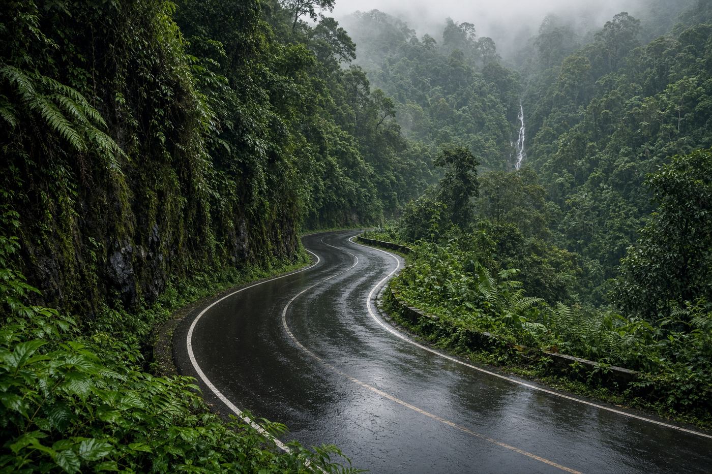
The rainforest ghat. Wet tarmac, canopy that never quite opens, and a sunset point that looks west over a sea of trees. Agumbe is short, dark, and the reason people wait for monsoon.
Top highlights
- High altitude790 m
- Someshwara wildlifeThe forest thickens. Lights on.
- Agumbe sunset pointThe whole argument, on a clear evening.
- Road qualityNarrow ghat, often wet, moss on the cuttings. Leeches in monsoon. Surface is decent; the visibility is not.
- Best timeJun – Sep, Oct – Feb
Recommended itinerary
Mangaluru, Karnataka
Start
Someshwara wildlife
60 km
Agumbe sunset point
92 km
Barkana viewpoint
95 km
Agumbe
End · 95 km