#10 of 79 · mountain
Leh to Pangong Tso
Leh, Ladakh → Spangmik, Pangong Tso
160 km · Jun – Sep · Challenging
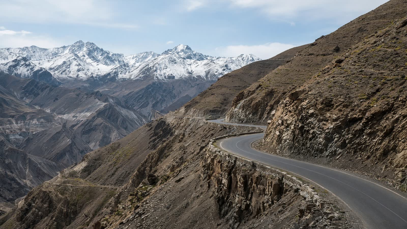
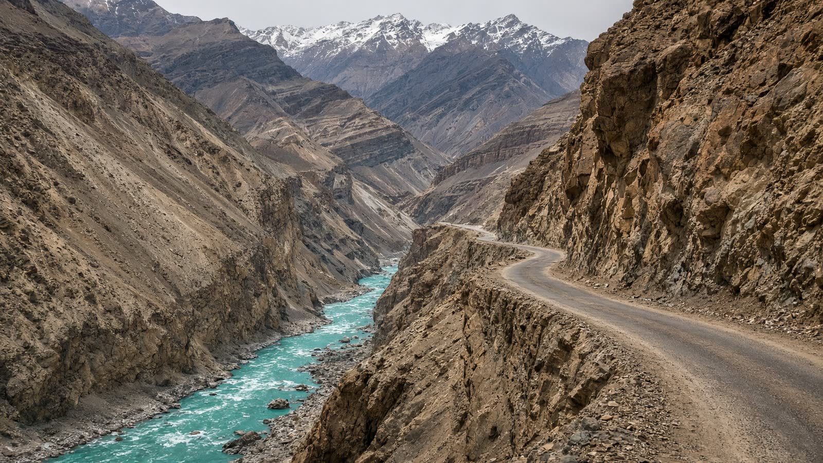
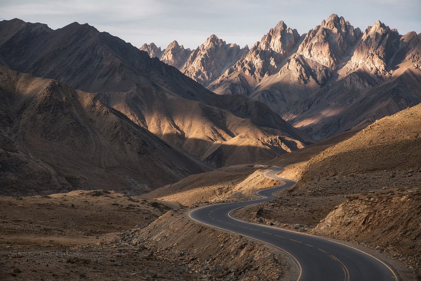
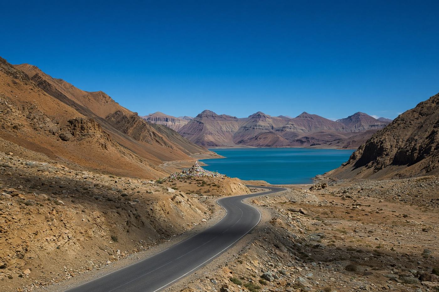
Chang La, then a lake that should not be that colour. High desert, thin air, and a road that spends the last hour beside water the colour of a glacier.
Viewpoints
Chang La
The pass. Tea stall, thin air, and a reason to go slow.
75 km
5,360 m
Tangtse
The last village with fuel and a bed, if you need one.
120 km
3,900 m
Spangmik
The lake, finally. Stay for the blue hour.
160 km
4,225 m
- Road
- BRO-maintained. Chang La can close with snow even in June. The last stretch to Spangmik is good tarmac, and very exposed.
- Permits
- Inner Line Permit for Ladakh, including Pangong. Apply online before you leave Leh.
Tips
- 01
Acclimatize in Leh first
Two nights. Chang La is not a day-trip from the airport.
- 02
Turn around at Spangmik
The road continues. The permit, and the border, do not.
From the road
1 notes
Field reports from people who have driven this route.
Driven this road? Join as a driver to leave a note from the road.
Tsewang D.
Jul 2025
Chang La at eight. The lake at noon was a different country. Two nights in Leh first — do not skip that.