- Distance
- 54 km
- Duration
- Half day
- Best time
- May – Oct
- Highest point
- 4,310 m
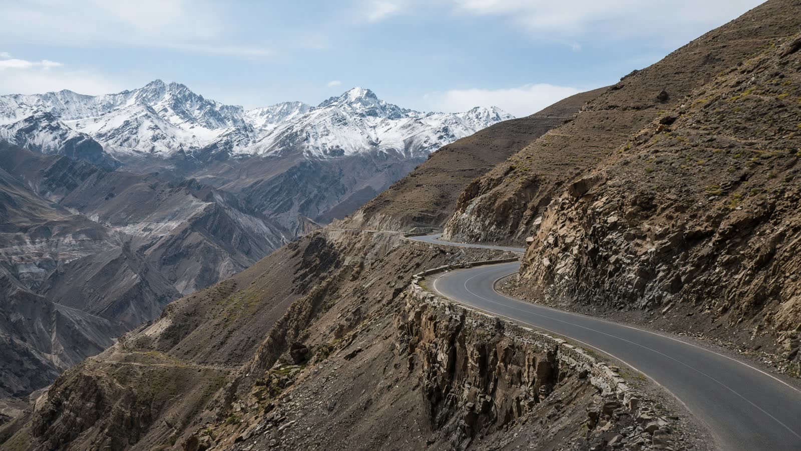
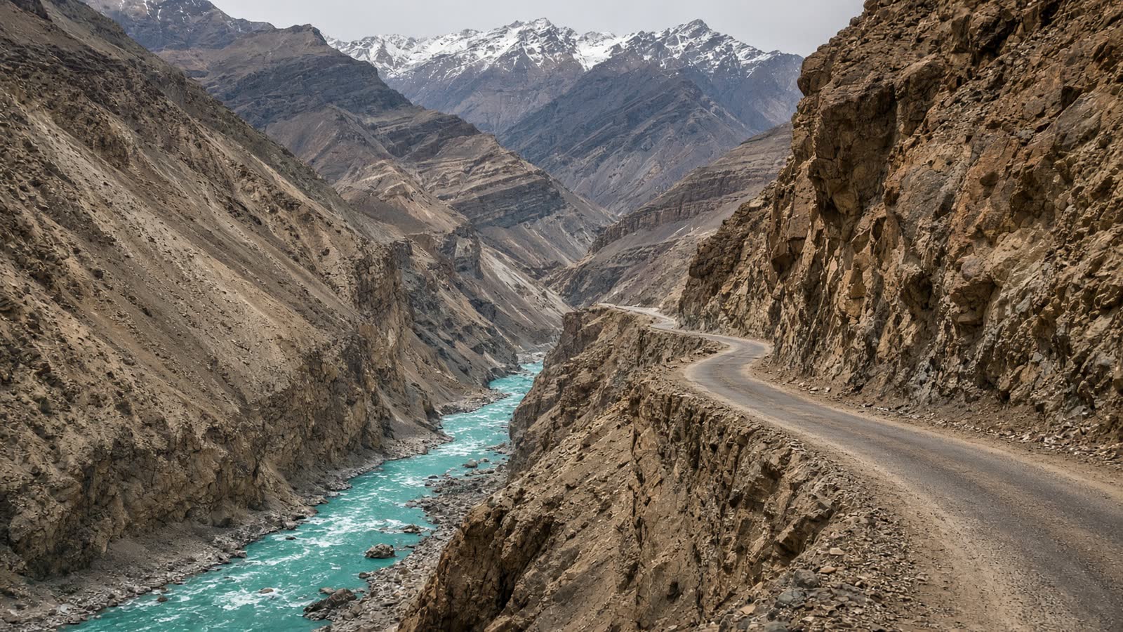
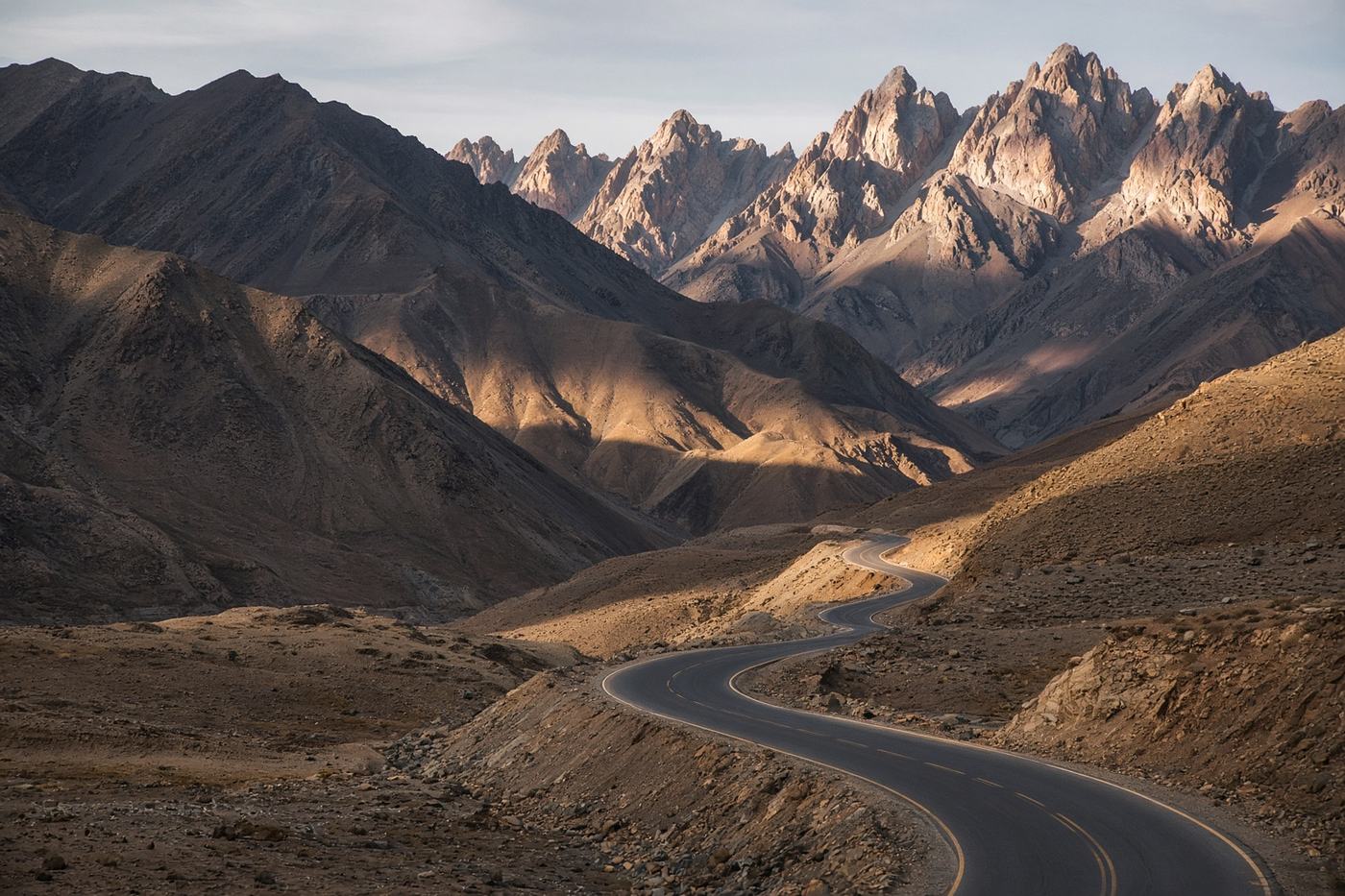
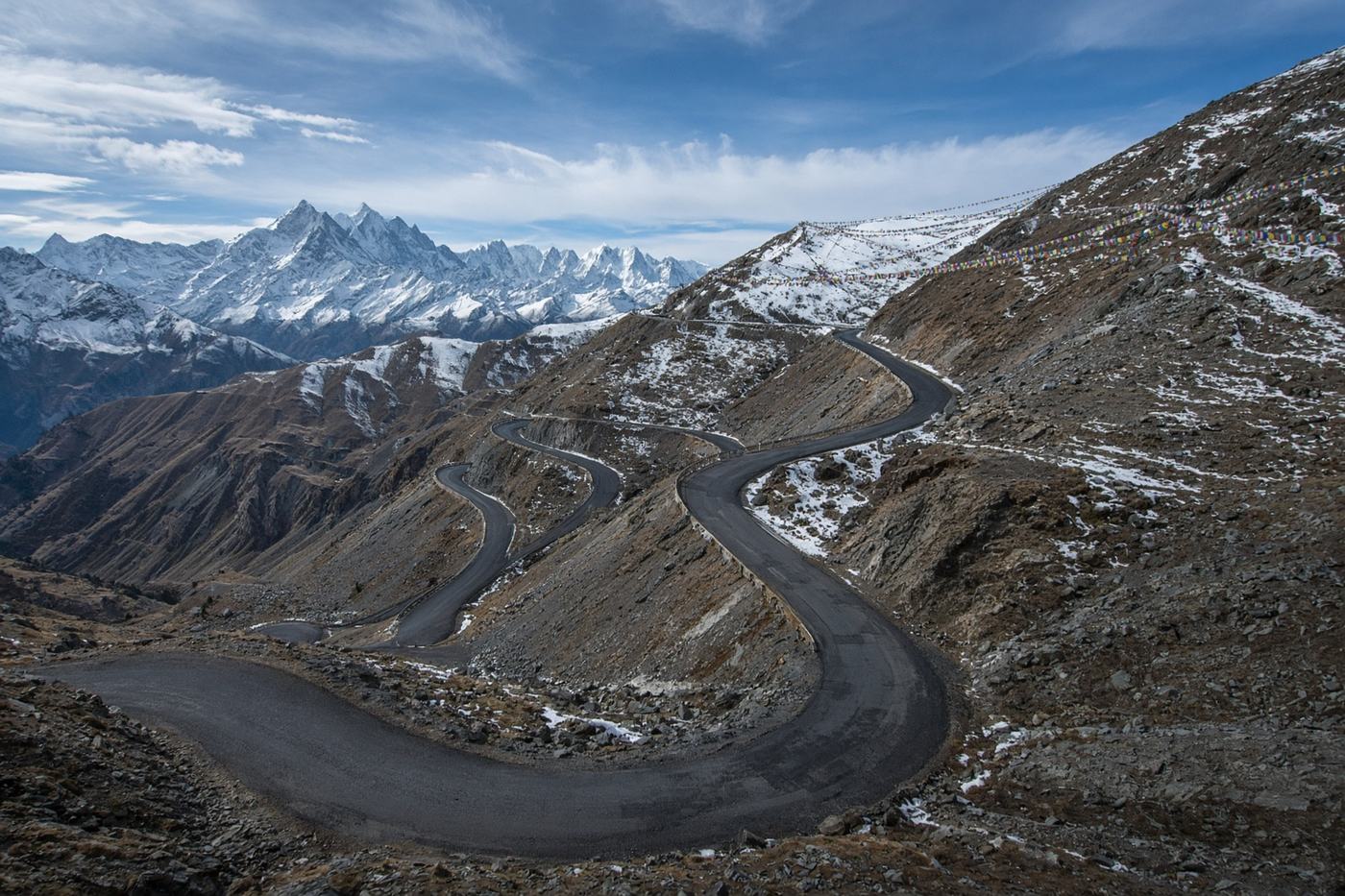
A short, high road to the old trade pass. Tsomgo on the way, then a ridge that looks at Tibet. Closed in winter, and not the Silk Route — a different Sikkim entirely.
Top highlights
- High altitude4,310 m
- Tsomgo LakeStill, high, and usually the first stop.
- NathulaThe pass, the fence, and the thin air.
- Road qualityArmy road, well kept, steep, and often in cloud. Convoys have right of way. Ice is possible even in May.
- PermitsProtected Area Permit for Nathula. Indian nationals only. Arranged via a registered operator in Gangtok the day before. Passport-size photos and ID.
- Best timeMay – Oct
Recommended itinerary
Gangtok, Sikkim
Start
Tsomgo Lake
40 km
Nathula
54 km
Nathula Pass
End · 54 km