+1
- Distance
- 160 km
- Duration
- 1 Day
- Best time
- Nov – Feb
- Highest point
- 50 m
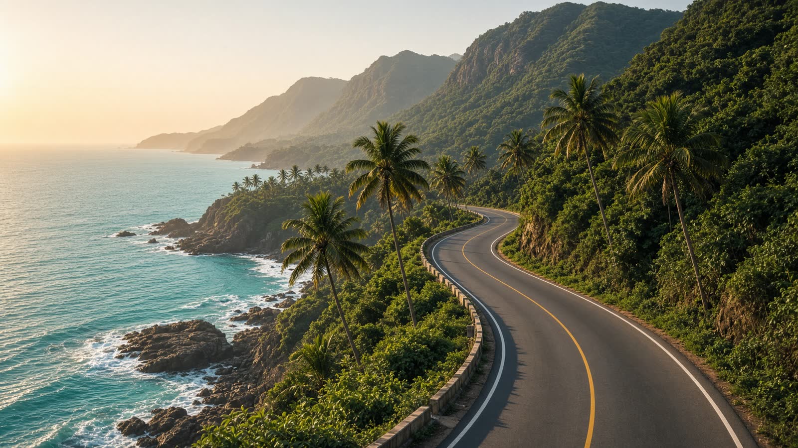
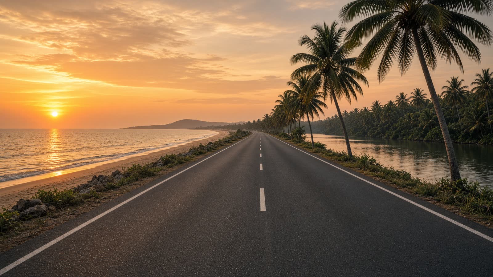
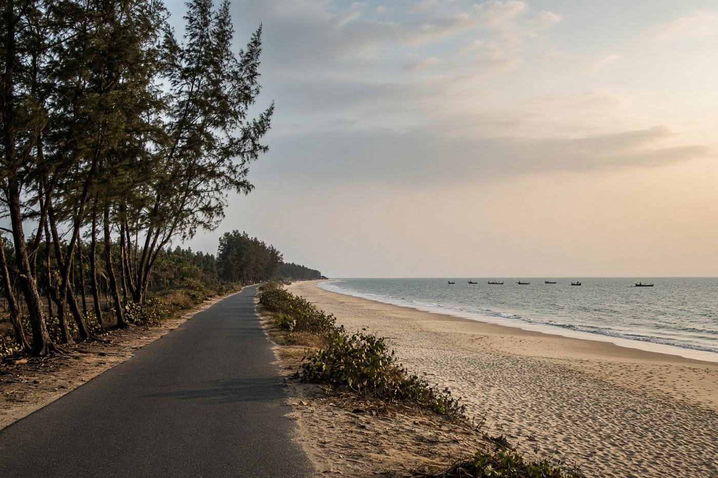
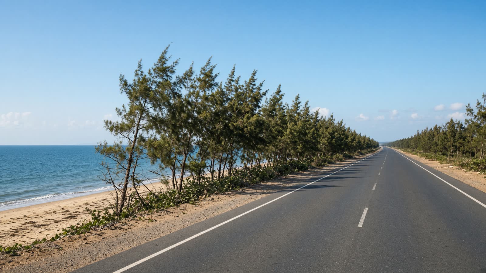
A photographer’s coastal highway: casuarina belts, fishing villages, the Shore Temple at Mahabalipuram, then the French quarter of Pondicherry at dusk.
Top highlights
- High altitude50 m
- CovelongSurf, lagoon, and a wide sky.
- MahabalipuramShore Temple and boulder reliefs right off ECR.
- Road qualitySmooth, well marked, popular on weekends. Watch for sand on the tarmac near beach access roads.
- Best timeNov – Feb
Recommended itinerary
Chennai, Tamil Nadu
Start
Covelong
40 km
Mahabalipuram
55 km
Auroville turn
145 km
Puducherry
End · 160 km