#75 of 79 · mountain
Dimapur to Kohima
Dimapur, Nagaland → Kohima
74 km · Oct – May · Moderate
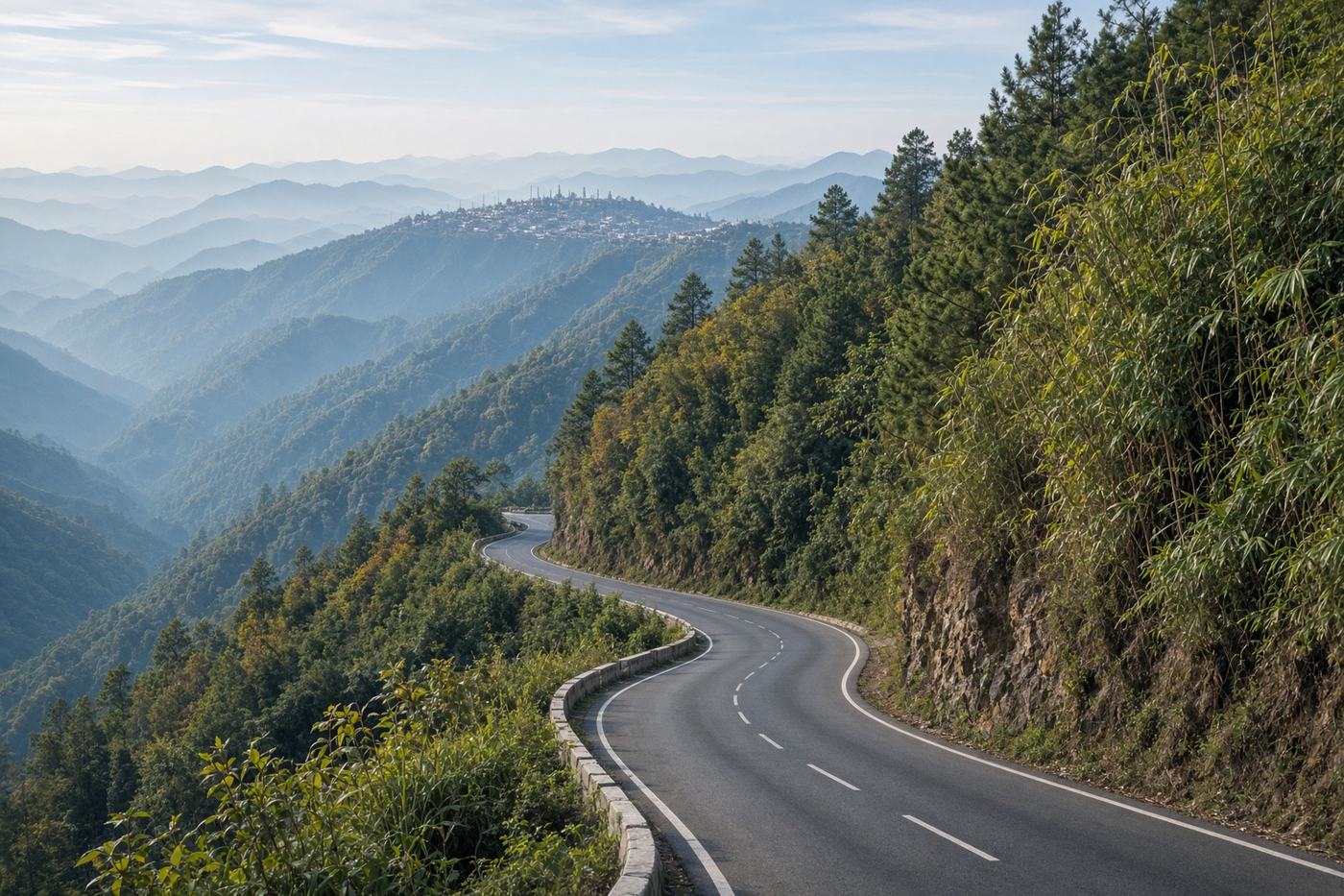
The Naga ridge. Plains at Dimapur, then a climb through pine and bamboo to a capital that sits on a saddle. Shorter than it feels, and a different Northeast.
Viewpoints
Medziphema
The climb begins to feel like the hills.
30 km
690 m
Kohima ridge
The town, the cemetery, and the saddle.
74 km
1,444 m
- Road
- NH29 is mostly good. Landslides in monsoon. Fog on the last climb. Shared Sumos treat the corners as theirs.
- Permits
- Inner Line Permit for Nagaland. Apply online. Carry ID at the Dimapur check.
Tips
- 01
ILP first
You will be turned around at the check without it.
- 02
Hornbill, or not
December is another country. Beautiful, and no longer a drive — a crowd.
From the road
1 notes
Field reports from people who have driven this route.
Driven this road? Join as a driver to leave a note from the road.
Aien M.
Nov 2025
ILP at Dimapur. The ridge was out from Medziphema. Kohima by nine, before the Sumos filled the road.