- Distance
- 25 km
- Duration
- Half day
- Best time
- Oct – Mar
- Highest point
- 1,930 m
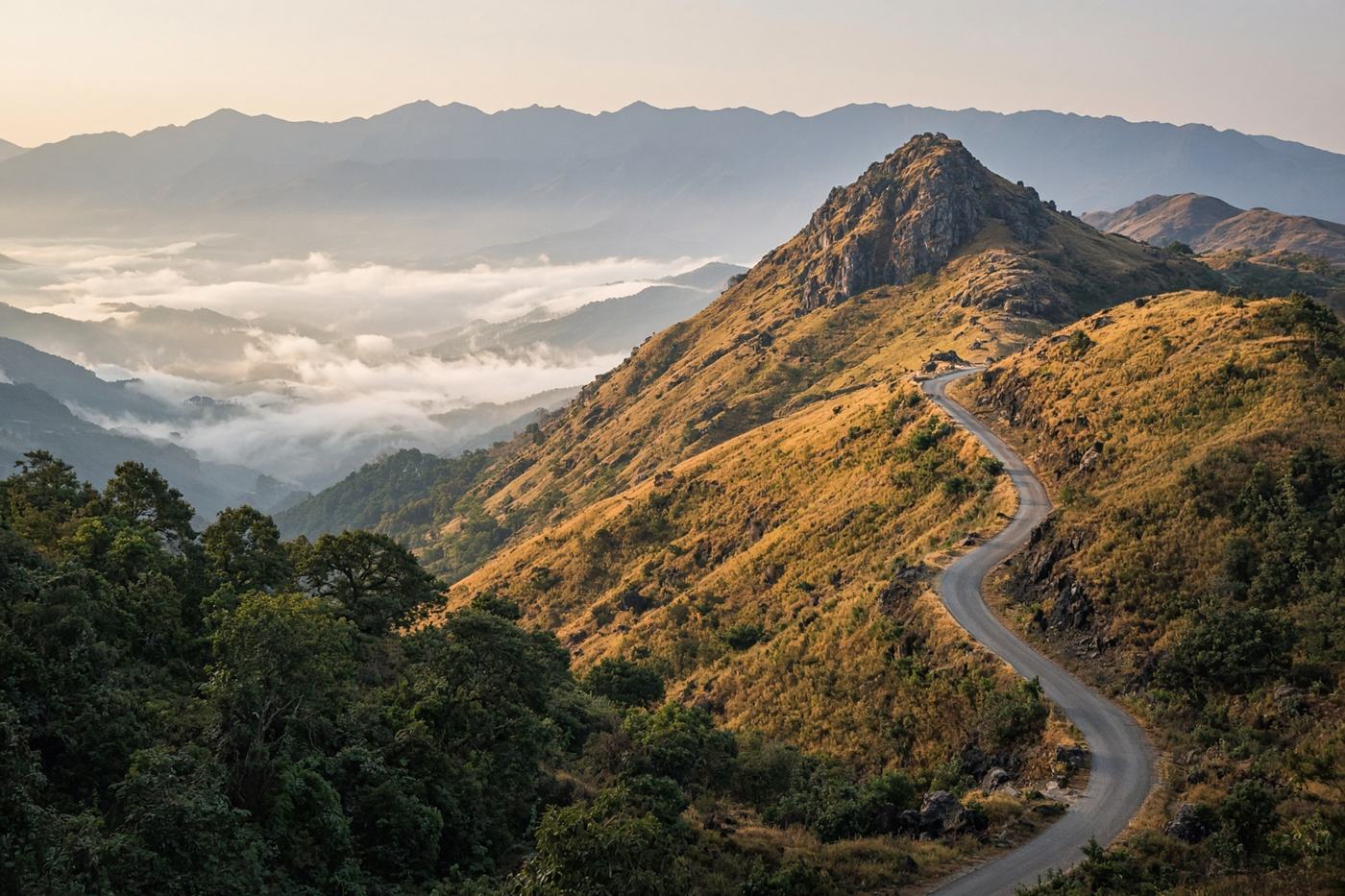
Coffee shade, then grassland, then Karnataka’s highest point. A short climb that opens like a map of the Baba Budangiri. Best at seven, gone by ten.
Top highlights
- High altitude1,930 m
- Siri coffee beltThe road leaves the town and enters shade.
- Mullayanagiri peakWalk the last steps. The wind is the view.
- Road qualityNarrow estate-then-hill road, decent surface. Weekend jeeps. The last kilometres are one-lane with passing bays.
- Best timeOct – Mar
Recommended itinerary
Chikmagalur, Karnataka
Start
Siri coffee belt
8 km
Mullayanagiri peak
25 km
Mullayanagiri
End · 25 km